When I was packing for hiking the South West Coast Path last year, I became obsessed with weight. I shaved grams off what I had to carry at every opportunity. One of the items that I chose not to take with me was my compass. After all, all that I needed to do was to keep the sea on my left. Surely I couldn’t get lost…
On the final day of walking, I slithered and squelched across Porlock Marsh before rising onto the cliffs one final time. Looking ahead, all I could see was mist and cloud.

On the top of the cliffs, visibility was close to zero, and apart from my breathing, there was total silence. The clouds were thick. I had no reference points to work to and the correct route was not clear – there were many more paths on the ground than on the map. I could not see or hear the cliffs or the sea.
625 miles into a 630-mile walk, I started to doubt the wisdom of leaving my compass behind. I pulled my phone out of my pocket, hoping that I had power and a signal. Great! I had both, which meant that I could pinpoint my position and direction of travel. I spent the next hour walking with my head down, constantly checking my phone to make sure I was heading the right way.
No harm was done on this occasion because I did have a charge on my phone and there was enough of a signal to download the map. With hindsight, I think that leaving my compass at home to save 43 grams of weight was a bit foolish.
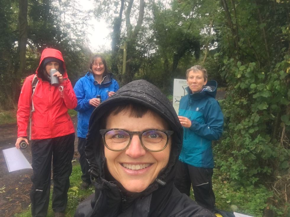
On reflection, I also realised that, although I knew some of the theory about how to use a map and compass, I had not practised it for a long time. So, I was delighted to have the opportunity to do just that last weekend. I walked with a qualified instructor (Sue Sharp) and two other members of Love Her Wild, a community dedicated to making adventure more accessible to women.

We measured the number of paces (73) and time (1 minute 25 seconds) it took us to walk 100m on the flat. Counting paces and timing can be used when you need to know approximately where to look for a turning, for example. This is particularly useful when visibility is low. (This string is used to keep count of paces.)

At every junction, we took a bearing to check which path we needed to take. We lined our compasses up with the path on the map, aligned the dial with north on the map and voila, we had a bearing. To follow the bearing, all we had to do was keep the compass pointing north and walk in the direction of the arrow. Simple! Or was it?
About half the time, I found that my bearing was out by 180 degrees. I always knew that I had done it, but would I be so sure if I was on a misty moor top with no points of reference? With Sue’s help, I realised what I was doing wrong – when lining the compass up with the path on the map, the arrow needs to point in the desired direction of travel. As with so many things in life, it’s obvious once you know.

That lesson learnt, we all practised at every junction, with one of us taking the lead at a time. I was chuffed when I took a bearing across the middle of a field with no obvious path or exit point. As we neared the other side, I did a little cheer when I realised that we were walking directly towards the stile. My bearing was correct.
Just having these basic skills will help enormously when I’m out walking in lowland UK. I definitely need to develop my skills further if I’m going to explore more wild places. It’s time to consider gaining some qualifications in navigating, such as those offered by the National Navigation Award Scheme.
Are there other qualifications or courses you know about that I should consider before embarking on such a challenge? If so, please comment below.
If you would like to know some of the basics of map reading, Ordnance Survey has a series of short video tutorials on YouTube.
And if you would like to read more about my adventures and lessons learnt, please subscribe above.
important skill
Might cheer you up to know that Alfred Wainwright wrote all those books and never carried a compass.